Total distance: ~6 mile Moderate Loop.
Elevation: ~400 ft gradual ascent
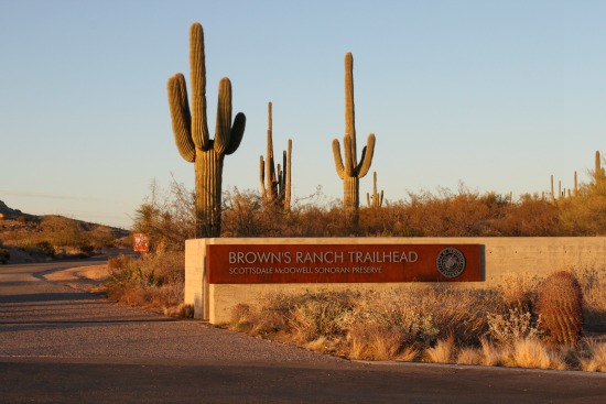
Meet at Brown's Ranch Trailhead (30301 N Alma School Pkwy, Scottsdale, AZ 85262) at 8:30 am
Distance: 6 miles for this easy/moderate scenic loop.
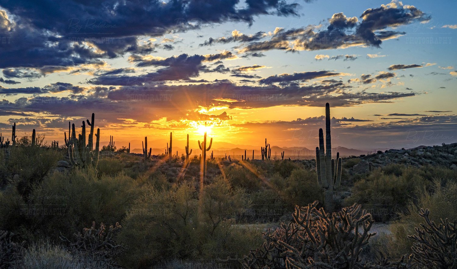
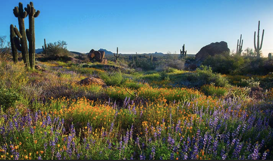
Brown's Ranch is part of the McDowell Sonoran Preserve in Scottsdale, a beautiful area for hiking, bird watching, and to see wildflowers in the Valley (if we have rain). The trail is mostly sand and fine gravel, very comfortable to walk on with almost any kind of walking/hiking shoes. Total distance is about 6 miles in mostly flat/undulating terrain, with 400 ft of gradual elevation gain.
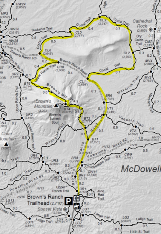
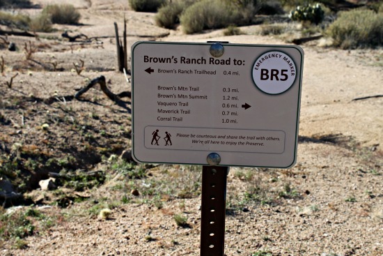
Starting from the trailhead we will head North along Brown's Ranch Road, passing Brown's Mountain (BM), until we reach Corral Trail, a loop we will take CCW. We will then take Upper Ranch Trail to Brown's Mtn Trail and walk up the side of the mountain to the saddle, where you can decide whether to ascend to the top or continue on BM Trail. Continuing on BM Trail will lead us back to Brown's Ranch Road and back to the Trailhead.
There are restrooms and water at the trailhead. Bring poles (optional), water bottle, sun protection, first aid and nutrition. We will be sharing the trail with mountain bikers, other hikers, wildflower seekers and horses, so pack your Camino spirit.
ATTENDEES
A total of 45 people have registered so far. The following 45 have opted to share their information.
No records found.
DETAILS

About Your Hike Leader
Steven has been an integral part of our chapter since its revitalization in 2021 and is now a Chapter Coordinator. He has walked the Camino Frances and the Camino Portuguese (from Lisbon) and served as a Hospitalero in 2024. He has lead many hikes in the McDowell Sonoran Preserve.
What to Bring
2L Water and snack
Hat or sunscreen
Toilet kit
Poles
Personal First Aid Kit
Money (cash) for the Donativo jar if able
Facilities
There is water at the Trailhead.
There is a bathroom at the trailhead and please plan on using it BEFORE 8:30AM.
Bring a toilet kit that includes plans to pack any waste products out.
Guidelines
Please stay home if you are feeling sick.
Call or text your hike leader Steven at 480.465.9732 if you are unable to make it or are running late.
No dogs allowed due to chapter liability.
We will share the trail with other hikers and mountain bikers so despite our engaging conversations we will be aware of our surroundings and courteous by stepping off the trail or walking single file when necessary.
Reminders: Our chapter activities are led by volunteers. Donativo contributions (cash only) are greatly appreciated and are used to support future activities. Look for the orange donativo jar by the signup at the beginning of each hike.
We always gather in the spirit of the Camino. The hike
leader will try to maintain awareness of the pace of the group, and will stop
periodically at trail intersections to allow participants to catch up.
However, hikers/walkers are differently abled and may not finish at the same
time. If you want to hike ahead or stay behind and leave the group, please
notify the hike leader or sweep. Please review the trail description before
signing up to be sure the hike is right for you and your abilities. You
participate at your own risk.
Directions
Please note freeway construction restrictions along Valley freeways may impact travel time. Visit https://azdot.gov/weekend-freeway-travel-advisory and plan your route and travel time accordingly.
- We will meet at the Brown's Ranch Trailhead: 30301 N Alma School Pkwy, Scottsdale, AZ 85262.
From 101 go North on Pima Road, turn right (East) on Dynamite. Follow Dynamite to Alma School and turn left (North) to the trailhead and parking lot.