There are toilets at the trailhead. There are concrete picnic tables (no ramada) so bring a folding chair for the gathering afterward. It's November so we expect the weather will be nice.
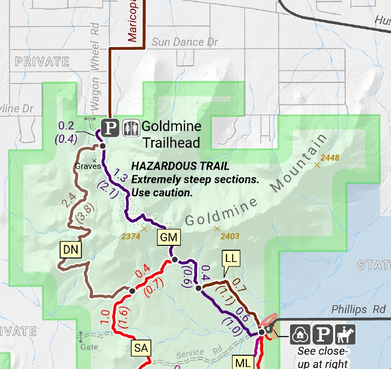
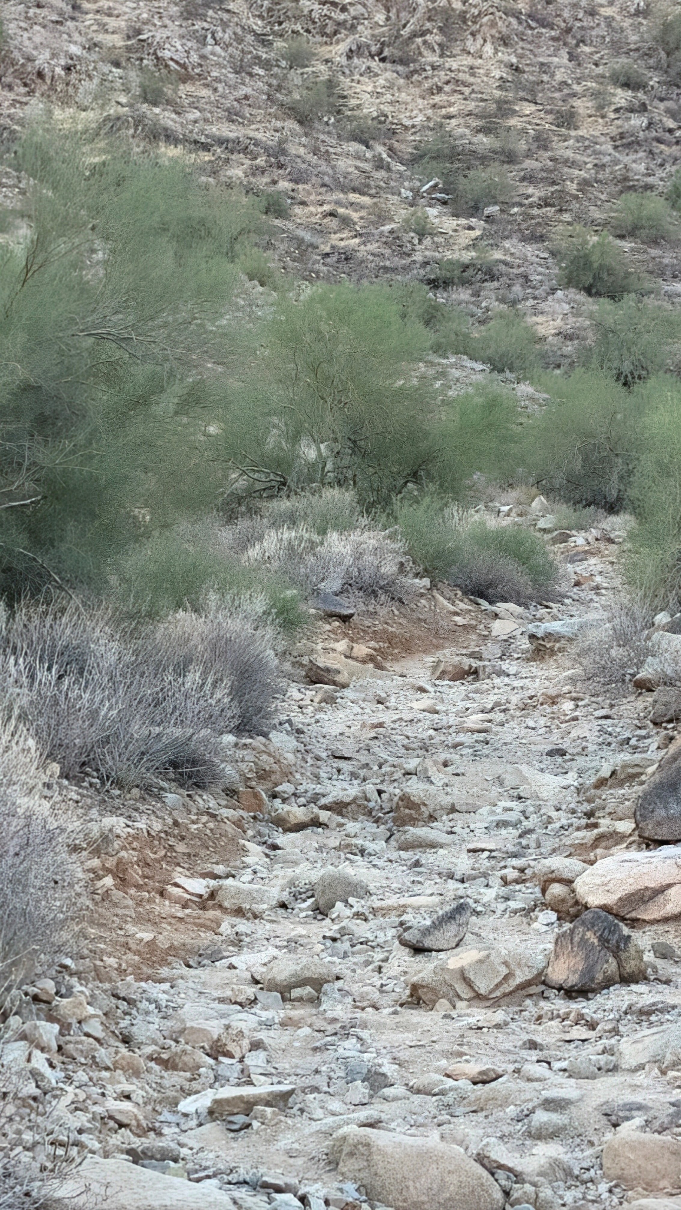
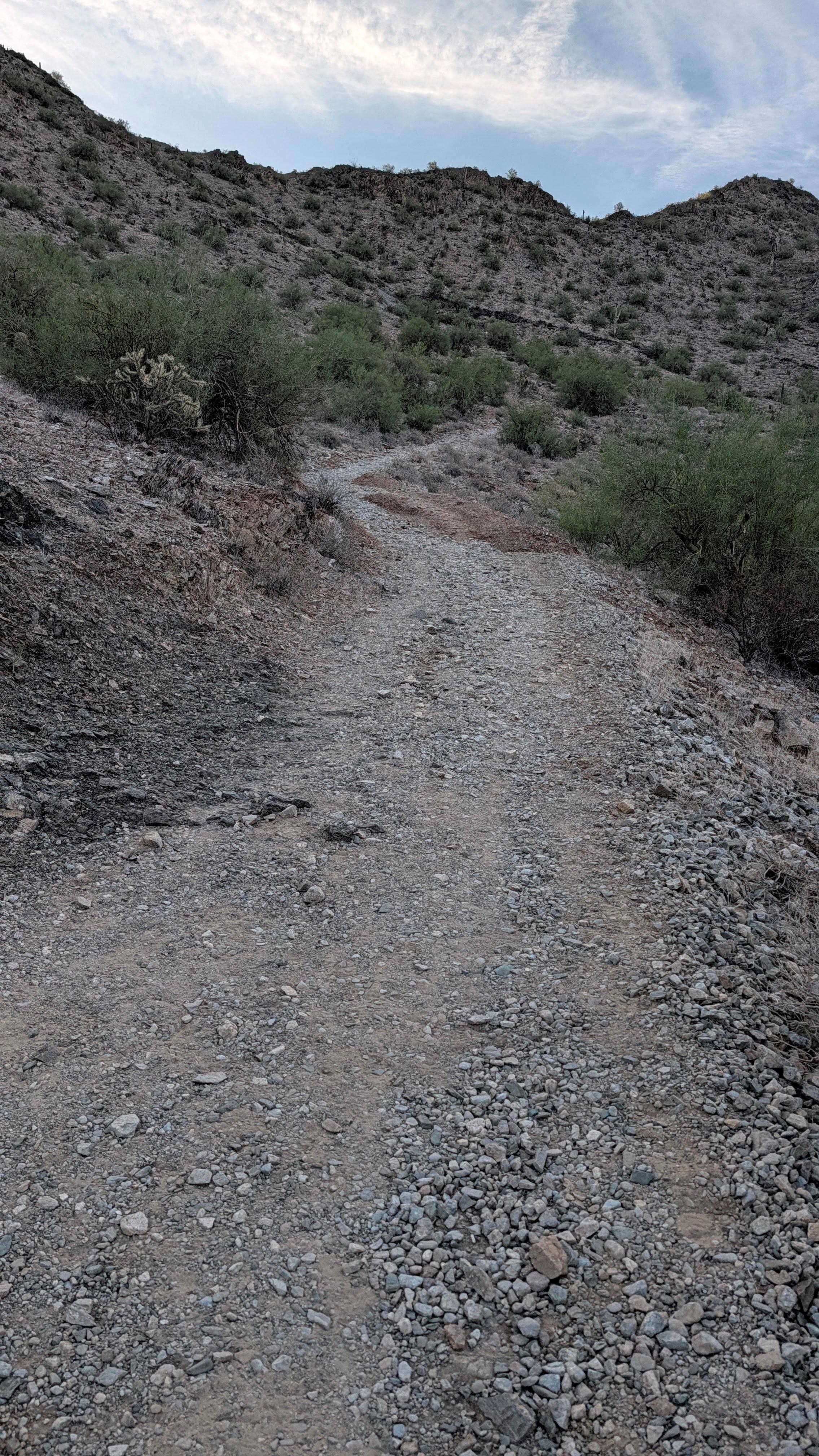
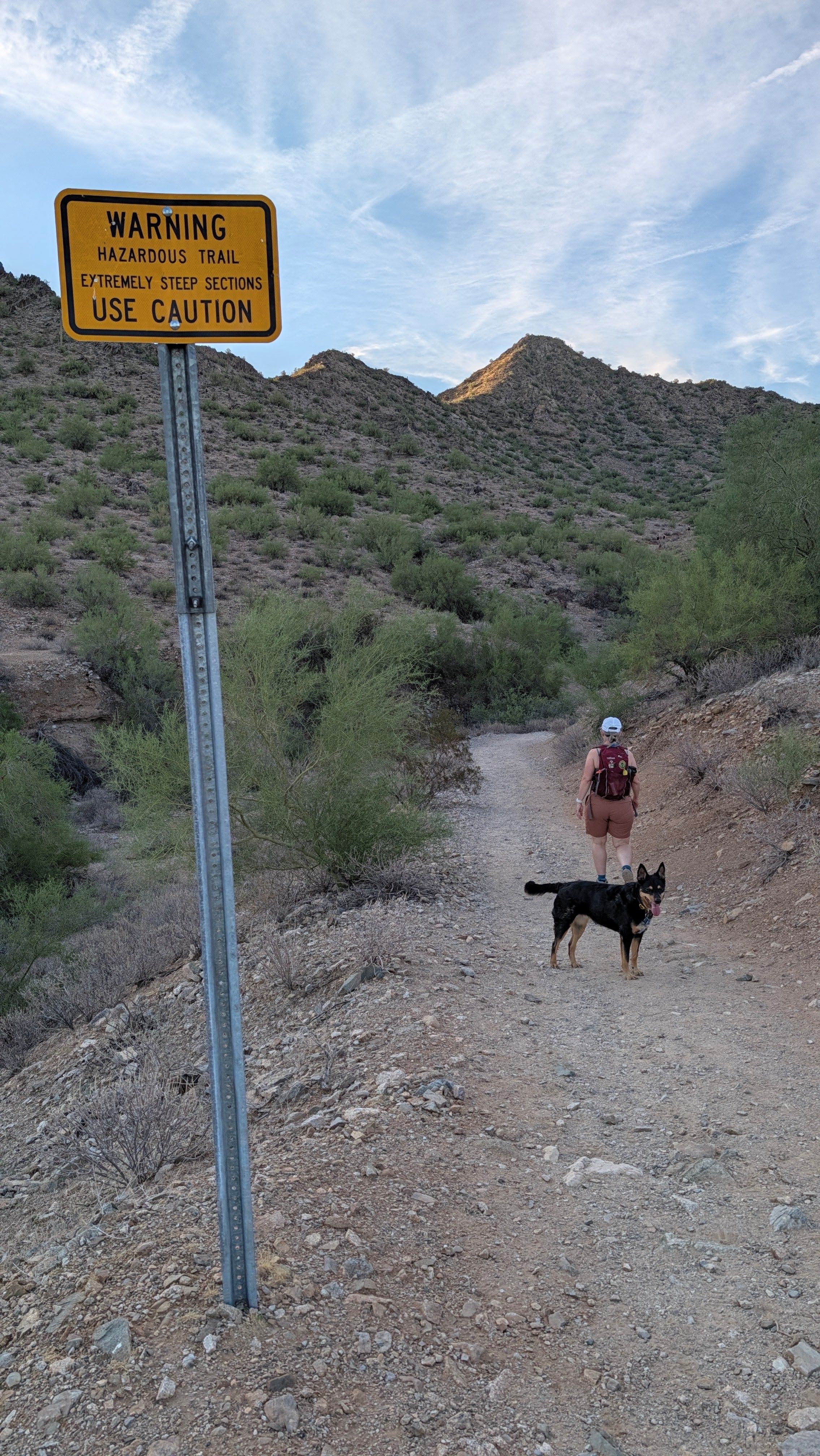
The Goldmine/Dynamite Trails are slightly challenging (steep and rocky) early on, but only for a half mile. That climb takes you to a beautiful saddle with great views. It's gradual downhill or mostly level from there.
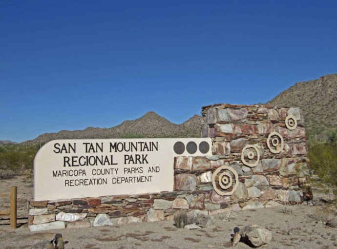
The trails within the San Tan Mountain Regional Park offer a unique perspective of the lower Sonoran Desert with wonderful wildlife, plant-life, and scenic mountain views. While much of this trail is relatively flat, the area offers many connected trails of different elevations making it a great training spot for nearby pilgrims and worth the drive for those wanting to see other parts of the Valley.
The
hike leaders will provide Tortilla Española and juice. Participants
should feel free to bring breakfast food to share if they feel so inclined.
DETAILS
About Your Hike Leaders
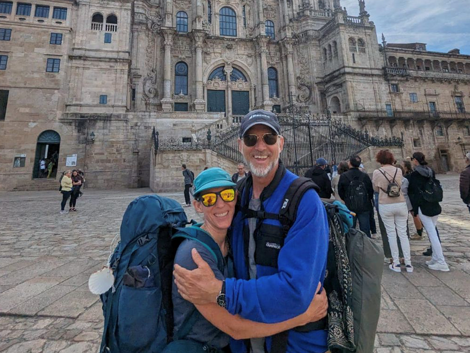
Will and Melissa completed the Camino Frances from St Jean Pied de Port in spring of 2024 to celebrate a milestone birthday.
What to Bring
- Water
- Hat
- Sunscreen
- Your own first aid kit
- Snacks
- Poles (may be helpful on the .25 mile climb and descent)
- A leave-no-trace toilet kit
- $10 Park entrance fee per vehicle, or show Maricopa County annual pass
Facilities
There are restrooms at the trailhead.
Guidelines
Please stay home if you are feeling sick.
Call or text your hike leader Tina 602.722.0612 if you are unable to make it or are running late.
No dogs allowed due to chapter liability.
We will share the trail with other hikers and mountain bikers so despite our engaging conversations we will be aware of our surroundings and courteous by stepping off the trail or walking single file when necessary.
Reminders: Our chapter activities are led by volunteers. Donativo contributions (cash only) are greatly appreciated and are used to support future activities. Look for the orange donativo jar by the signup at the beginning of each hike.
We always gather in the spirit of the Camino. The hike leader will try to maintain awareness of the pace of the group, and will stop periodically at trail intersections to allow all participants to catch up. However, hikers/walkers are differently abled and may not finish at the same time. If you want to hike ahead or stay behind and leave the group, please notify the hike leader or sweep. Please review the trail description before signing up to be sure the hike is right for you and your abilities. You participate at your own risk.
Directions
Please note freeway construction restrictions along Valley freeways may impact travel time. Visit https://azdot.gov/weekend-freeway-travel-advisory and plan your route and travel time accordingly.
Goldmine Trailhead is accessed at the park's north entrance, on Wagon Wheel Road via Hunt Highway. Take Hunt Highway to Wagon Wheel Road and go south to the trailhead entry station, about 1/2 mile. It is manned and the entry fee is $10 per vehicle (or show Maricopa County annual pass)
Note that Goldmine Trailhead is at the North entrance of the park, NOT by the Visitors Center!
Please use your car/phone navigation to find the best route on the day of the hike due to freeway construction.